Groundwater Level Data
: Groundwater, which is in aquifers below the surface of the Earth, which is exists underground in saturated zone beneath the land surface. The upper surface of the saturated zone is called the water table. It is one of the Nation's most important natural resources. Groundwater is the source of about 37 percent of the water that county and city water departments supply to households and businesses (public supply). The study area has a well distributed network of groundwater monitoring stations owned by Central Ground Water Board (CGWB), and State Groundwater Department, Rajasthan. The available data of ground water monitoring stations have total depth of well, pre-post depth-to-water-level from 1984 to 2020, and lithology / formation.
Dataset
(1) Groundwater Level Data (4 Districts) 2011-2020 (2) Groundwater Level Data (Udaipur) 1984-2018 (3) Groundwater Resources Data (4) Groundwater Draft DataSource: Ground Water Department, Jodhpur (Rajasthan). https://phedwater.rajasthan.gov.in/content/dam/doitassets/water/Ground%20Water/Groundwaterdata/website_wl_11_20-compressed.pdf And Central Ground Water Board (CGWB), Ministry of Jal Shakti, Department of Water Resources, River Development and Ganga Rejuvenation, Government of India. https://cgwb.gov.in/wqreports.html
Related images
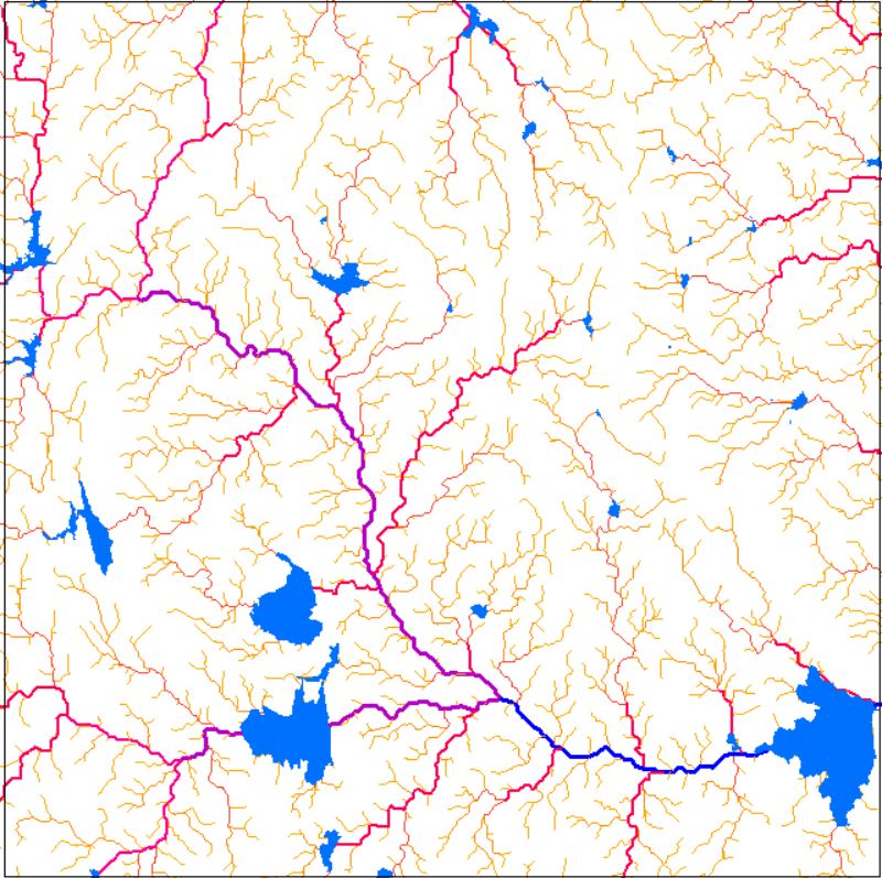
Drainage Network
View more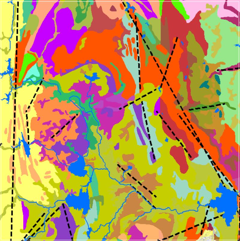
Perfumes
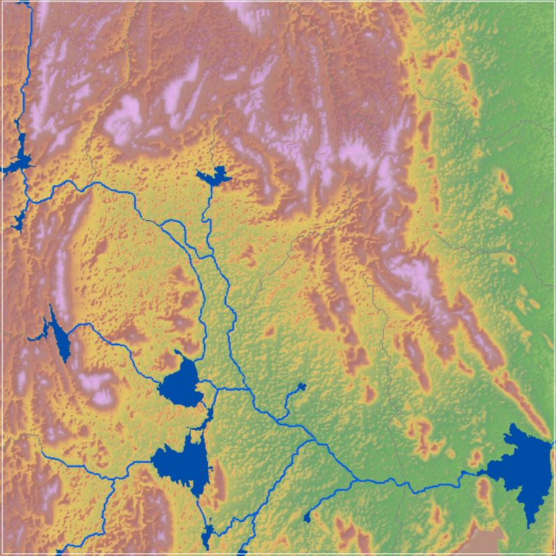
Geomorphology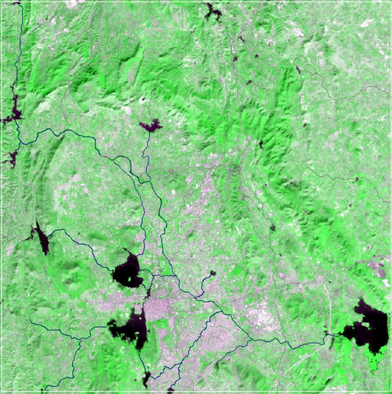
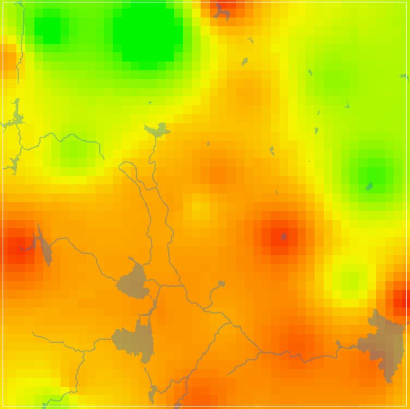
NDVI Vegetation Indices
View more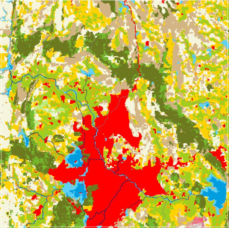
Land Use and Land Cover
View more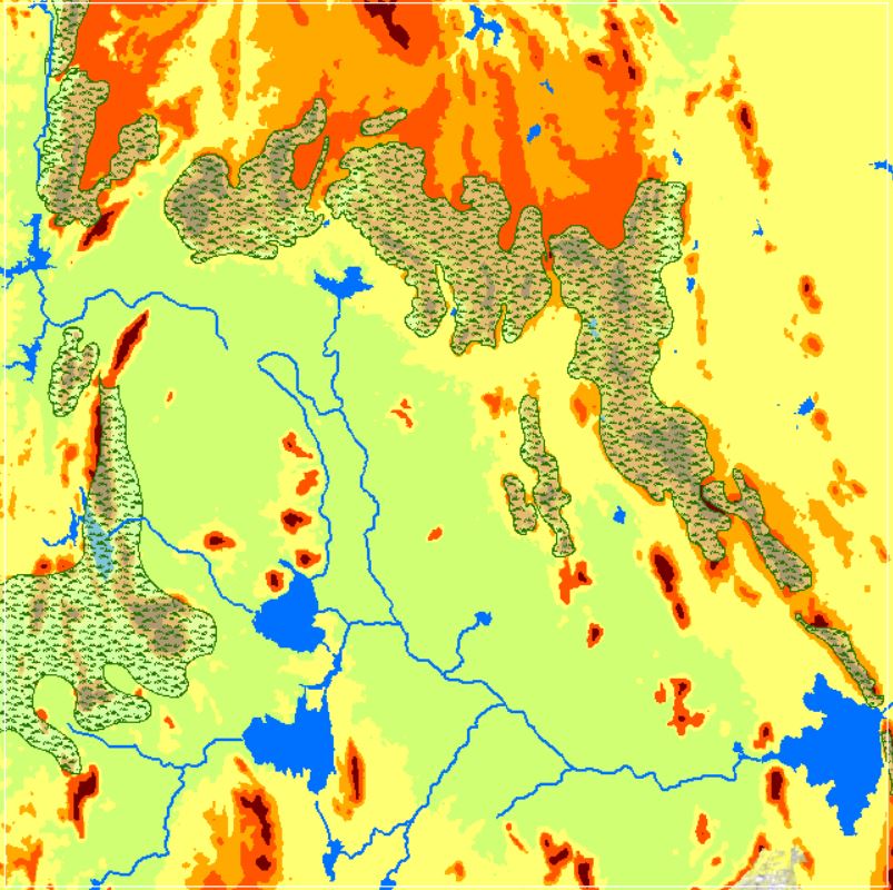
Landforms
View more
GW DTWL Data
View more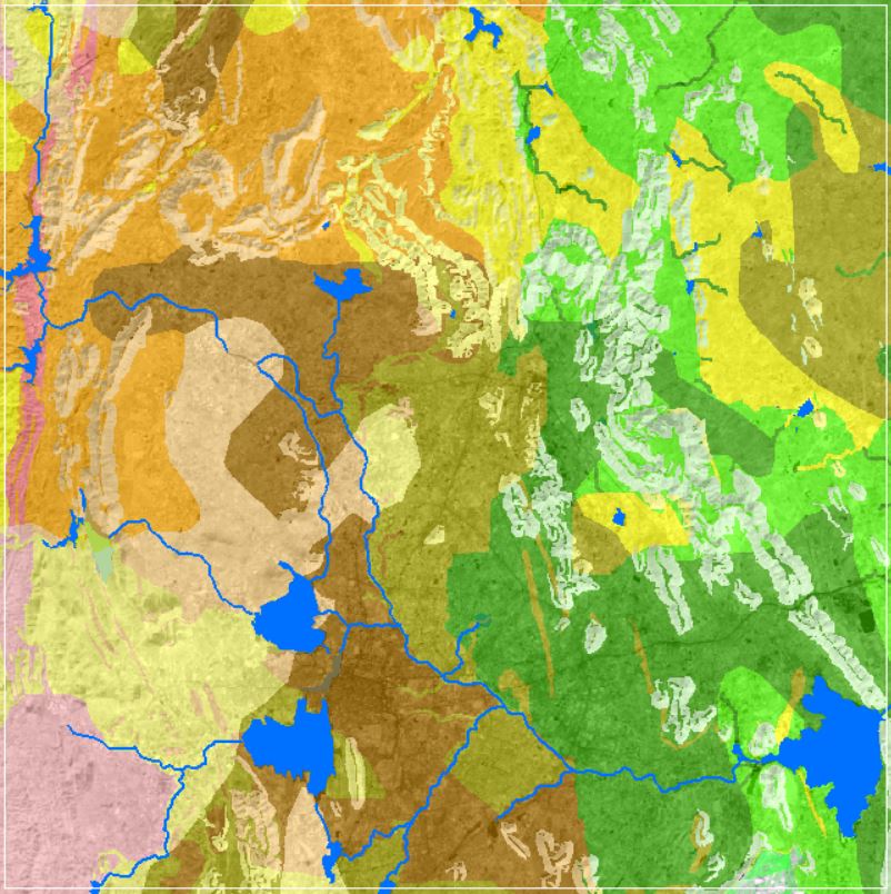
Soil Texture Data
View more